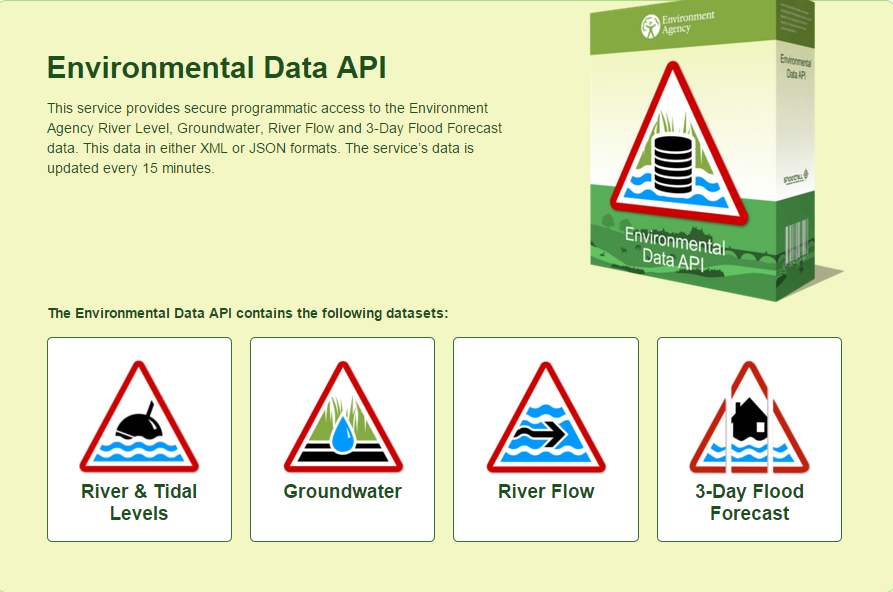
Environmental Data API
Shoothill’s Environmental Data API
The Environmental Data API gives access to various datasets supplied by the Environment Agency and does some analysis on historical data available for a particular station.
The API may be used in either a client side application or a server side application. In both cases the referrer URL must be set correctly. The following data options are available:
Telemetry items provides programmatic access to the Environment Agencies remote sensing gauges in the field. These gauges update their values depending on operational requirements. In addition to the current value data the API provides historical analysis of data recorded by each gauge where possible.
Data Types Included
- River Levels Inland – Provides the current value of all currently active River Levels and supports historical analysis by individual River Gauge. The feed data is compiled from data supplied by the Environment Agency.
- River Levels Tidal – Provides the current value of all currently active Tidal River gauges and additionally supports historical analysis by River Gauge. The feed data is compiled from data supplied by the Environment Agency.
- River Flow level – This data provides flow values from specific stations which support measuring river flow levels. The feed data is compiled from data supplied by the Environment Agency.
- Groundwater – This data provides groundwater level measurements primarily from Borehole locations throughout the country. The feed data is compiled from data supplied by the Environment Agency.
- Three Day Forecast – Provides access to the Environment Agencies three day flood forecast.
Full API documentation is available here: http://riverlevelsapi.shoothill.com/help