
Sutton Elections
Developed by:
Adrian Short
App Link:
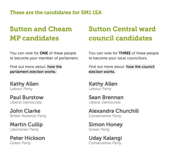
Allows people living in the London Borough of Sutton to easily find their parliamentary and council candidates for the 2010 elections using their postcode. It uses the Ordnance Survey Code-Point Open data to map postcodes to wards via the UK Postcodes API. Dataset Name: Code-Point Open Dataset URL: http://www.ordnancesurvey.co.uk/oswebsite/products/code-point-open/index... Dataset Provider: Ordnance Survey

Apps submitted to data.gov.uk are currently approved for publication on the general level of their context and appropriateness.
Whilst we review these on a periodical basis, we do not own responsibility for the regular update and maintenance of these apps. Any queries about individual apps or tools published need to be directed to the originator.