Elgin roadworks portal

Average: 3.3 (8 votes)

Developed by: 
Jacobs

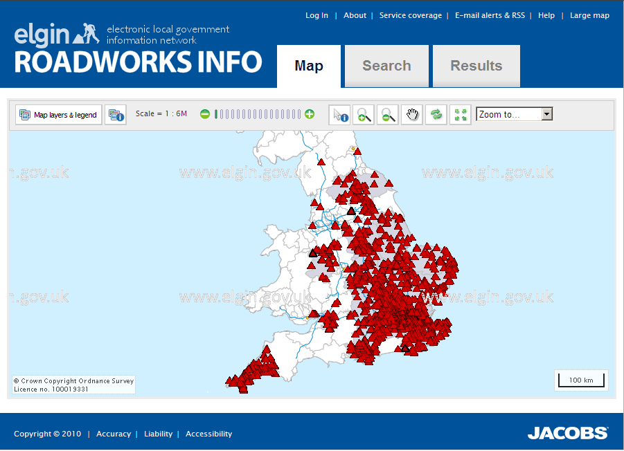
Map based portal providing up to date information on current and planned roadworks. The data is updated ebvery half an hour and is sourced from 80 local authorities, the Highways Agency and Transport for London. The app covers all motorways and trunk roads in England and all local roads in approximately half of local authorities in England and one in Wales. If the remaining 100 or so local authorities join the project Elgin will become a national portal for this information.

Users can search and filter roadworks and get updates for their area of interest / commute by RSS and email alerts. There is an API (SOAP web service) which enables developers to incorporate the data into their applications. For further details on this contact me at j.harris@jacobs.com.
Apps submitted to data.gov.uk are currently approved for publication on the general level of their context and appropriateness. Whilst we review these on a periodical basis, we do not own responsibility for the regular update and maintenance of these apps. Any queries about individual apps or tools published need to be directed to the originator.

Comments

I imagine this app would get

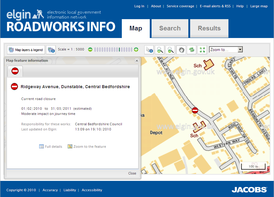
I imagine this app would get used alot on smart phones and it works well on my iPhone, congratulations are in order for that one! However the close buttons at the bottom of the "Map feature information window" are very close to the resizeable borders and quite a few times when I was pulling up taffic detail I found it quite difficult to close the window - a larger margin between the close button and the border should help.

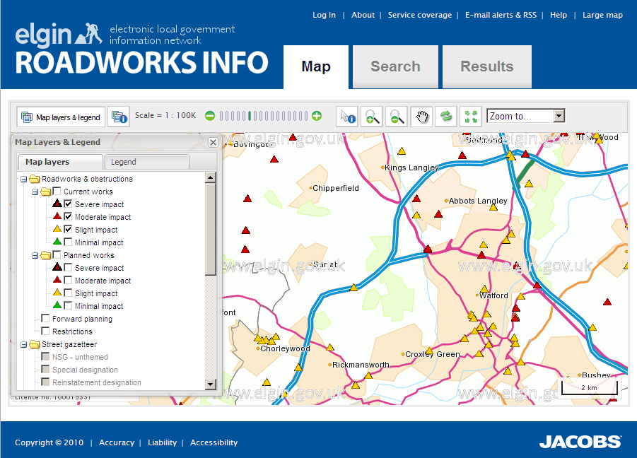
Also The Map Layers & Legend window is impossible to move on the iPhone and sits in the way, its hard to close the window as the close button (x) as its so close to the borders that the iPhone has the same problem as with the close buttons at the bottom of the map feature information.

 Flag as offensive 

New relaunched as roadworks.org

roadworks.org is the largest single source of local roadworks information in the UK - around 2 million roadworks a year. It provides real-time access to local roadworks information across nearly 100 local authorities (and rising) as well as motorways and trunk routes across England and Wales. Incorporating data from subscribing Local Authorities, the Highways Agency and Transport for London, roadworks.org covers over 70% of the geography of England & Wales. The roadworks.org website is free to view - users are able to view precisely where and when roadworks are taking place, who is responsible for them, and assess the likely impact on journey times. A spartphone web app is under development (to be launched Aug 2012) and an intelligent API is available - for details see http://www.elgin.org.uk/other-services/api-data-services

 Flag as offensive 

The links mentioned in

The links mentioned in previous comments don't seem to work, and there doesn't appear to be a public API available. Given that the majority of the data supplied to Elgin by local authorities is OGL, it should be available via a public, free API. Otherwise, it isn't really open.

 Flag as offensive