UKGeocode
Developed by:
Max Manders
App Link:
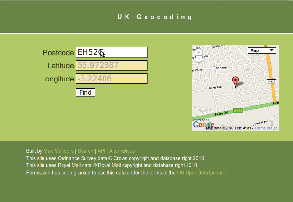
This application uses Open Code Point data from Ordnance Survey to provide a UK geocoding service. Given a complete postcode, the longitude and latitude will be returned. Given the start of a postcode, a range of matching postcodes and corresponding latitude/longitude pairs will be returned. Dataset Name: Ordnance Survey Open Code Point Dataset URL: http://www.ordnancesurvey.co.uk/oswebsite/products/code-point-open/index... Dataset Provider: Ordnance Survey
Apps submitted to data.gov.uk are currently approved for publication on the general level of their context and appropriateness.
Whilst we review these on a periodical basis, we do not own responsibility for the regular update and maintenance of these apps. Any queries about individual apps or tools published need to be directed to the originator.