UK Roads iPhone App
Developed by:
Andrew Sinclair
See at a glance the current status of the main roads and motorways in England and Scotland.
Road incident data is live and direct from the Highways Agency England and Traffic Scotland, updated approximately every 10 minutes.
UK Roads shows only live incidents that are affecting motorways and main roads at the current time. Check before setting off to see where problems are so you can avoid them. Problems reported include road closures, junction closures, lane restrictions, accidents, and emergency roadworks.
The app has two modes:
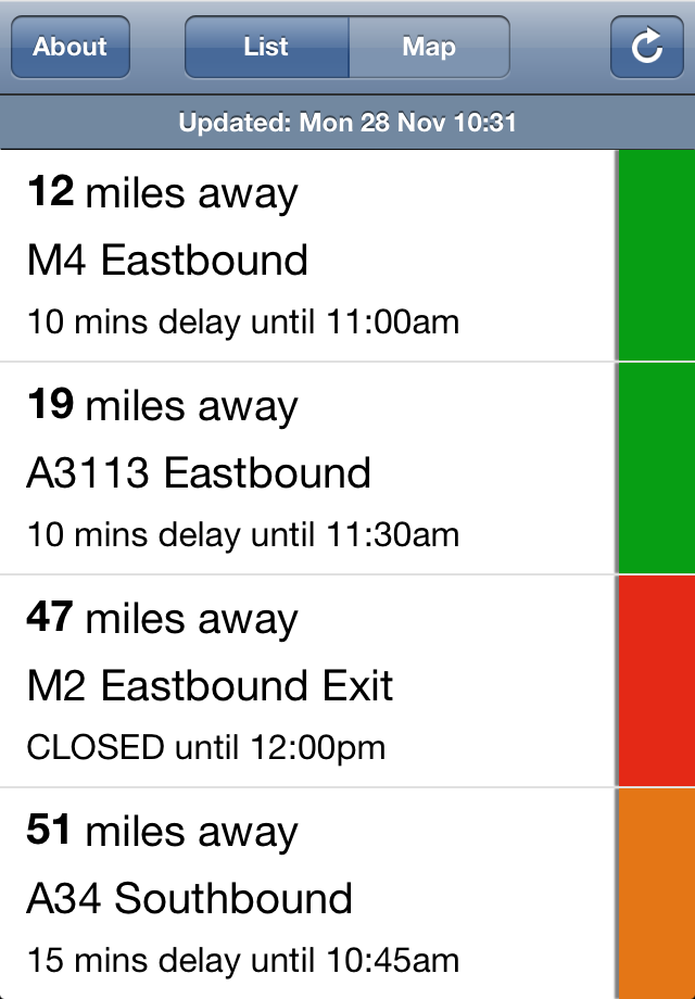
- a list view shows current incidents in order of distance from your current location (closest incidents are shown first). Each incident is colour-coded to indicate the severity of the delay. You can quickly see the distance the incident is from you, the road name, the length of the delay and the estimated time that the incident will clear.
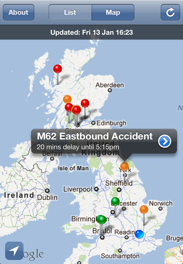
- a map view shows current incidents. Again, each incident is colour coded, and clicking on an incident displays more detail.
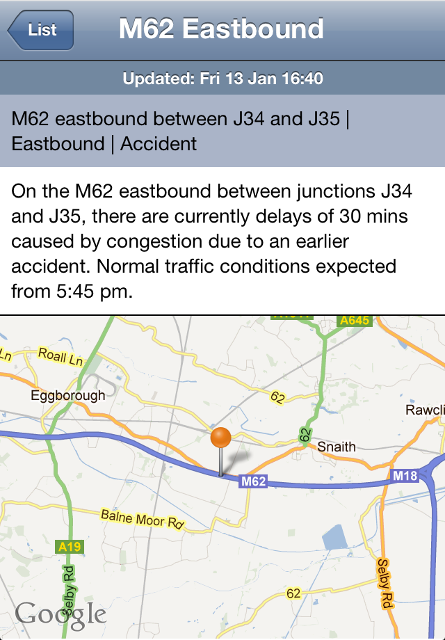
The detail view for each incident shows the description of the incident together with a map showing the exact location of the incident. Incident colour codes:
- Red: severe; delays of one hour or more, or road/exit closed
- Orange: medium; delays 15 minutes or more
- Green: minor; delays less than 15 minutes
Apps submitted to data.gov.uk are currently approved for publication on the general level of their context and appropriateness.
Whilst we review these on a periodical basis, we do not own responsibility for the regular update and maintenance of these apps. Any queries about individual apps or tools published need to be directed to the originator.